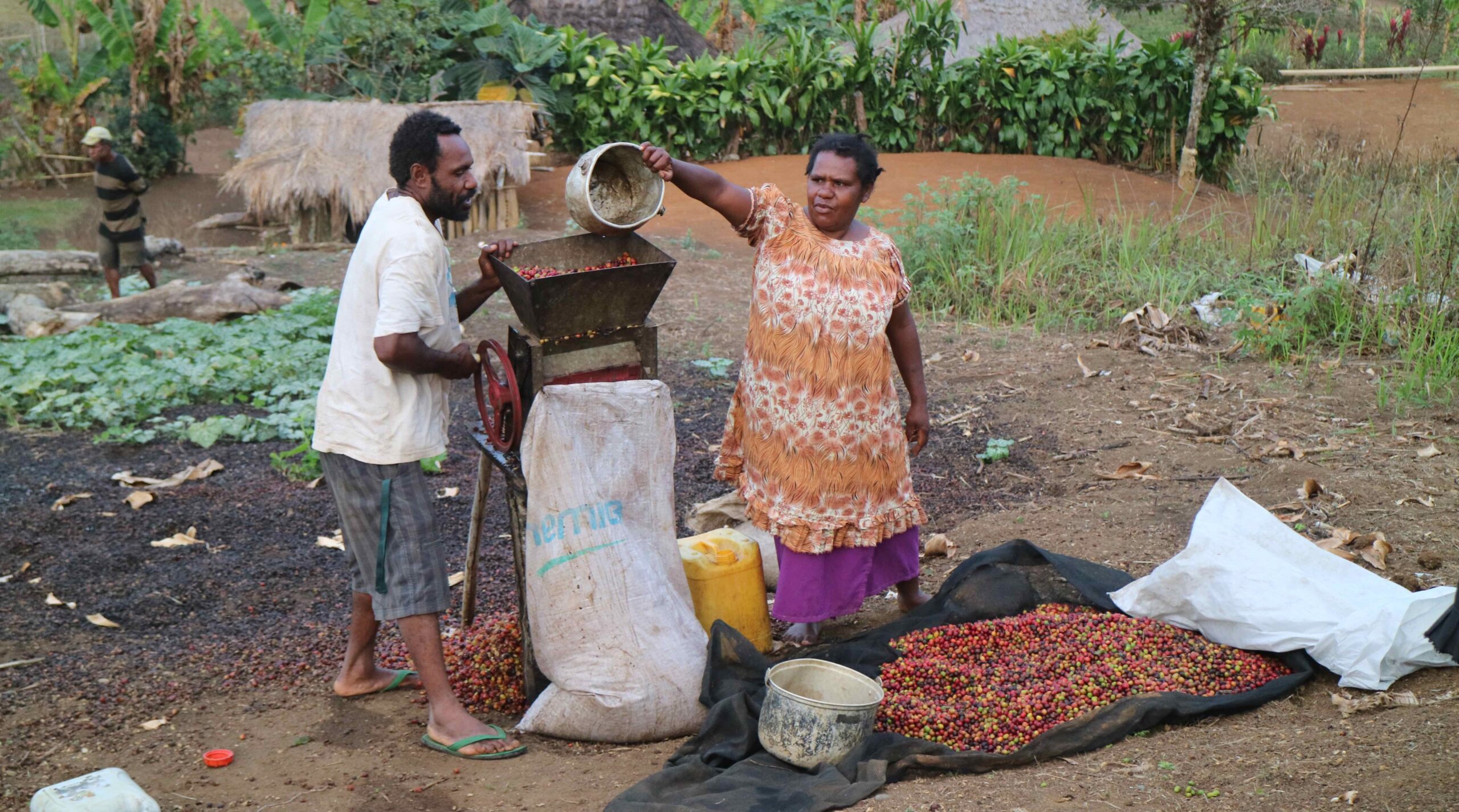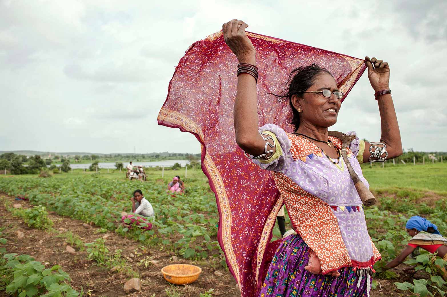


Linking spatial data on agricultural plots and their landscapes to survey data can shed light on sustainable agricultural practices among smallholders. These include things like fertilizer and pesticide use, the types of crops being grown and hours spent cultivating them, irrigation, and soil conservation. This information can inform sustainable development policies and help us tackle pressing issues like poverty, food security, land tenure, sustainable farming, and more. Accurate measurement is key to understanding how cultivation practices impact the welfare of individual farmers and their societies as a whole. But getting accurate measurements can be challenging.
Imagine you are a social scientist who is a guest in a farmer’s home. You have spent a good hour asking household members questions, and now you need to locate the farm plots they’ve told you about. But it would be too great an imposition to ask them to travel to the plots with you so that you can physically walk the fields to map them with a GPS device. Even requesting detailed directions would be asking a lot. So what do you do?
We wanted to know if there was a good alternative either to making do without spatial data or having to visit every plot in person. In a recent study in the Sasumua region of the Upper Tana River Basin, Kenya, we developed and tested a fairly simple approach: Using tablets preloaded with high-resolution (2.5 m) satellite imagery of the farms we were studying.
During our interviews, we helped the farmers whom we were surveying to draw the boundaries of their plots on the tablets and then related those boundaries to the detailed information the farmers provided about them. Using ArcGIS Collector, we were able to load the imagery before beginning field work, do the surveys without being online, and upload results later when we had internet access.
In all, we surveyed 540 households, mostly smallholder farmers. Of these 540 households, 70% could draw at least one of their plots, with households that owned their land most able to do so. Altogether those 376 households drew 744 plots. Almost 90% of the farmer-drawn maps appeared to be fairly accurate—that is, they aligned well with fields visible in imagery and did not overlap with other plots.
The spatial data helped us in several ways. In particular, this information enabled us to check the accuracy of our survey. For example, we could compare the satellite imagery with what farmers reported regarding the size of their plots and the area covered by crops or grass or trees. In doing so, we found that farmers’ estimates of the size of their fields did not match actual measurements very well, especially for small fields. There were also major issues with farmers’ descriptions of land cover—75% of the plots they said were not cropland appeared to have crops in the imagery. These findings highlight the importance of validating land cover reported in surveys. In addition, by overlaying plot boundaries with high-resolution imagery, we were able to identify past sustainable agricultural practices not identified in the survey such as drainage ditches and ridge-tillage furrows.
Despite the tradeoffs and limitations this new method presents, we believe it will provide an integrated and cost-effective way to simultaneously gather spatial and survey data. Understanding people’s stated practices and beliefs about their own land in greater objective detail is a critical step in advancing policies that promote sustainable land management. To that end, we have provided detailed instructions for anyone interested in using our approach for their next survey.
Jonathan R.B. Fisher is a former Senior Conservation Scientist with The Nature Conservancy (TNC); Yuta J. Masuda is a TNC Senior Sustainable Development and Behavioral Scientist; Wei Zhang is a Senior Research Fellow with IFPRI’s Environment and Production Technology Division; Timothy Boucher is a TNC Senior Conservation Geographer; Carolina Castilla is an Associate Professor of Economics at Colgate University.