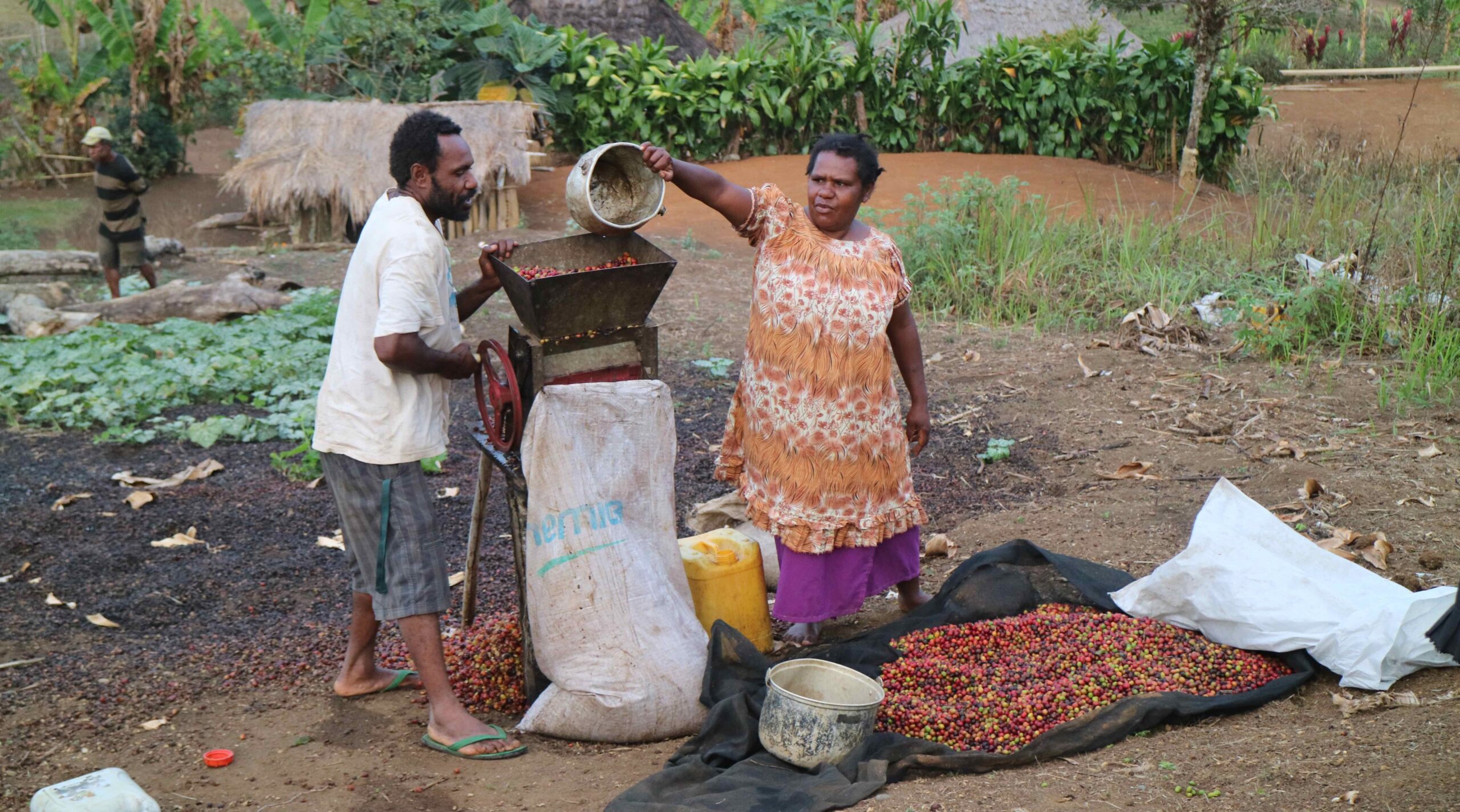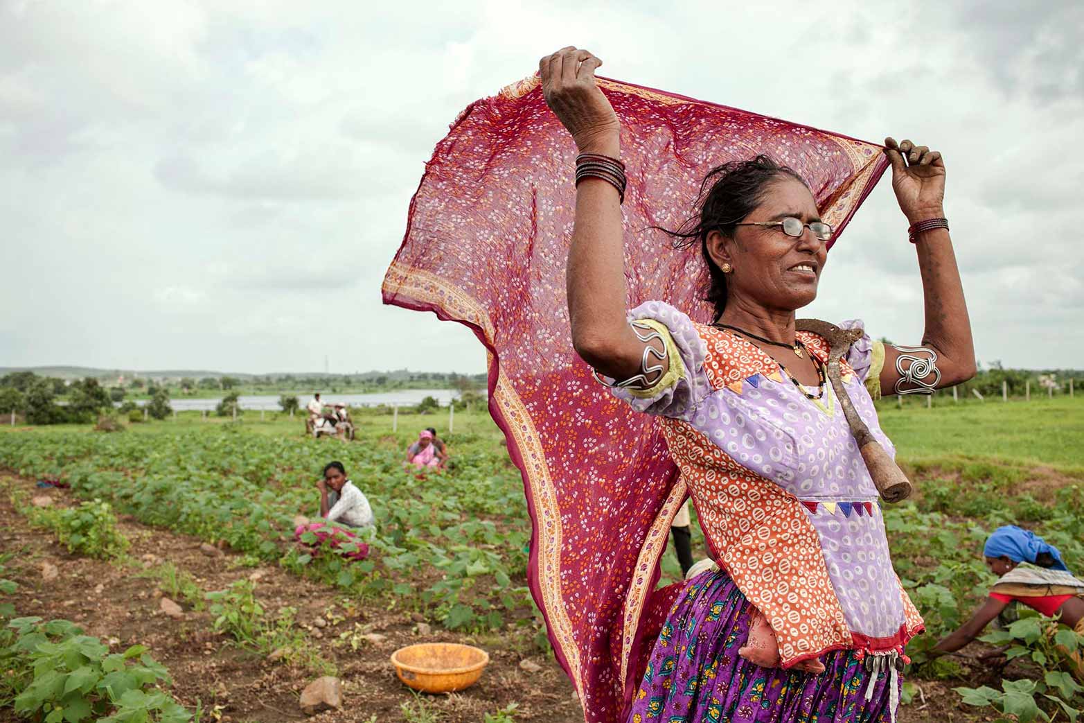


The world’s population is growing, but its resources, including land and water, are finite. This means that if farmers are to feed 9 billion people by 2050—which would require them to roughly double current production—they will have to make their fields work harder without transforming forests and other precious ecosystems into additional cropland.
Researchers at IFPRI and elsewhere have already shown that farmers—including smallholder farmers in developing countries—could sustainably boost crop yields through the use of traditional and innovative technologies and practices, including water harvesting and irrigation. But researchers have yet to successfully quantify how much potential, exactly, there is on earth to increase the crop yields of major crops.
A group of researchers from the University of Nebraska and Wageningen University are setting out to determine just that through the production of an atlas. The Global Yield Gap Atlas will use map-based evidence to reveal the “gap” between the current average yields of farms and their maximum production potential. In other words, it will show the difference between what the world’s farms currently produce and what they could produce. The Atlas will also document the world’s potential to use water more efficiently.
At a recent GYGA meeting in Naivasha, Kenya, Atlas collaborators—which include Jawoo Koo of IFPRI—comparatively reviewed two major crop distribution maps and announced that they would use the ones produced by an IFPRI model—the Spatial Production Allocation Model (SPAM)—as a basis for the Atlas.
Developed by Liang You, Stanley Wood, and Ulrike Wood-Sichra of the HarvestChoice team at IFPRI, this model produces highly detailed maps of crop distribution and performance by spatially disaggregating subnational statistics data on 10 km grids globally. The detailed spatial datasets represent a unique and rich platform for exploring the social, economic, and environmental consequences of agricultural production in a strategic policy context. The SPAM model, which is available for free download here; view interactive SPAM maps of Sub-Saharan Africa here.